THE WOW FACTOR DETAILS
Plan Smart provides clients affordable high-quality drone imagery, 3D modeling and professional audio and video production.
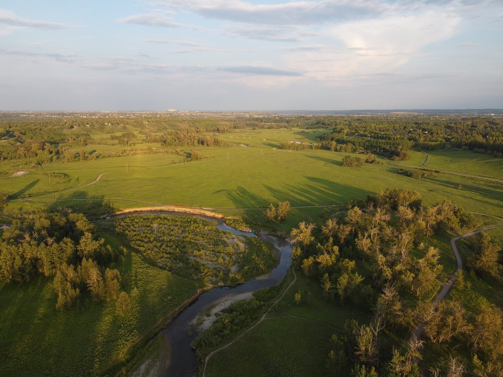
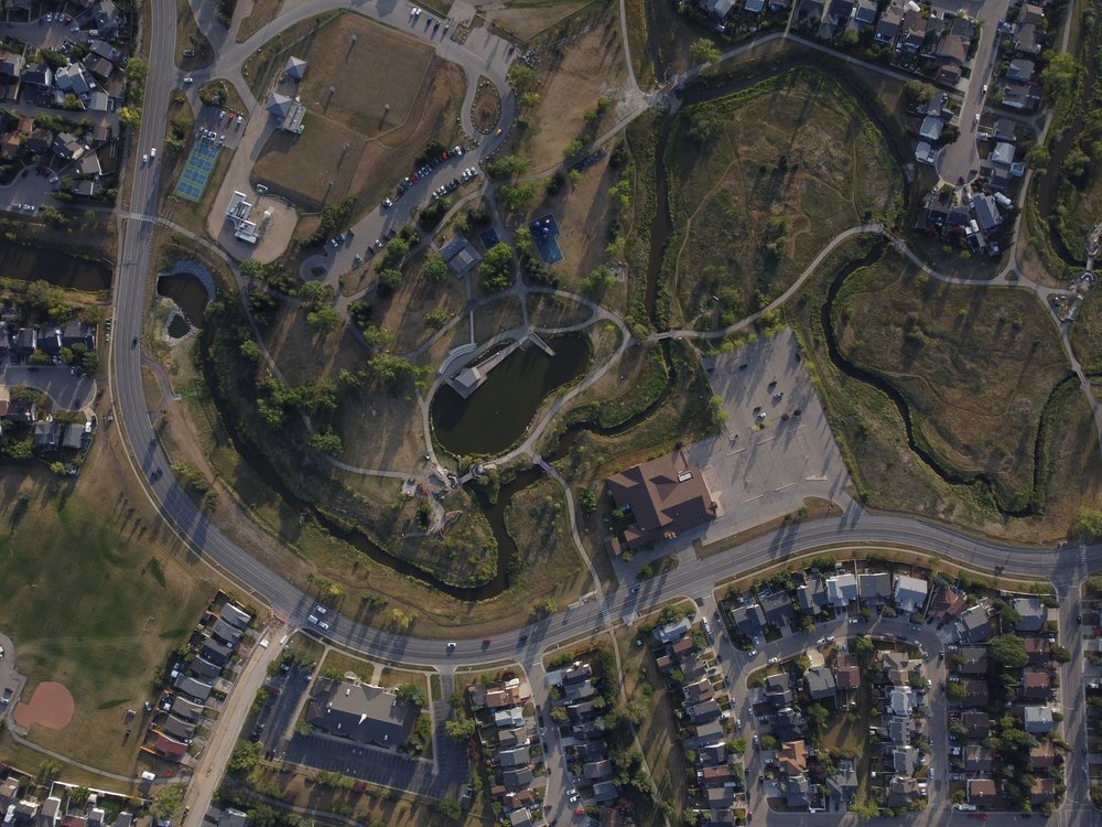
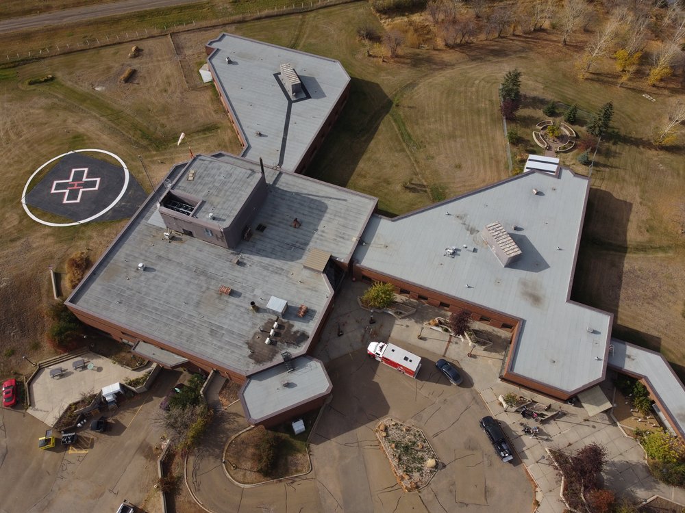
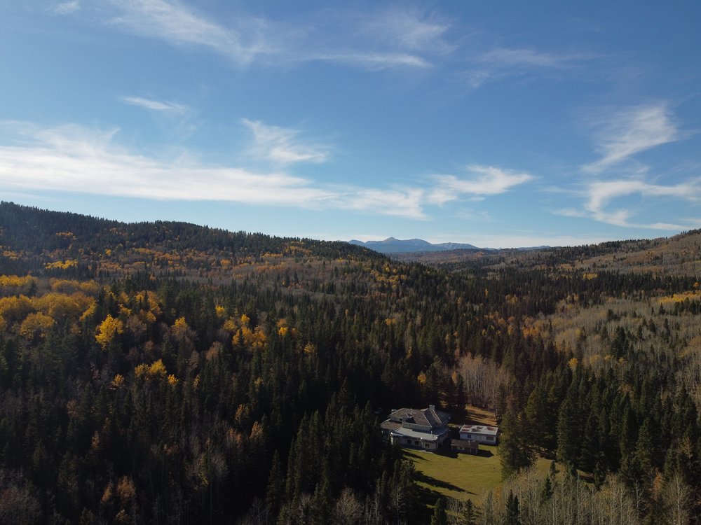
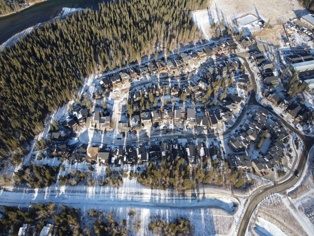
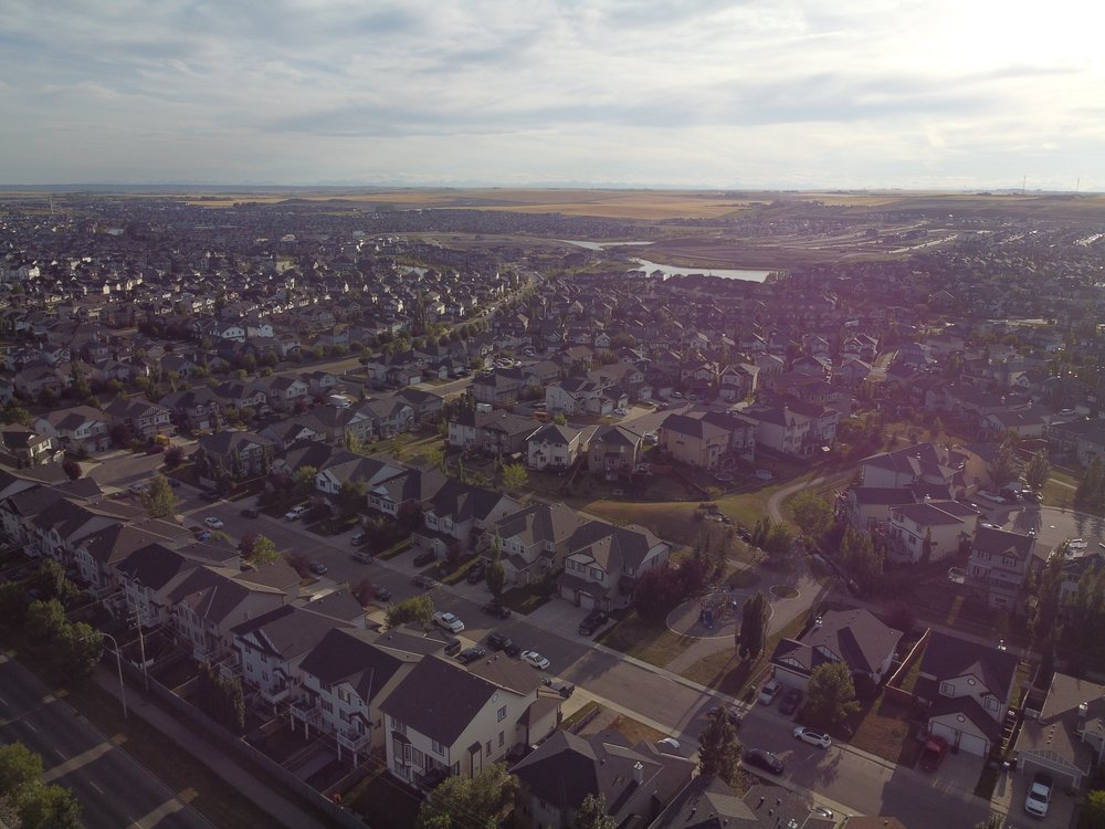
Done photography is a great way to see features that are hard to see in street level photos and a great way to show off natural features.
We can provide 3D mapping using LIDAR and incorporate useful data into municipal mapping sites.
Get creative video tours of the location in 4k footage that will impress people who are trying to find out more about your area.
Use aerial photography to measure, keep mapping up to date and put in to context urban features for your urban design, survey, construction and planning projects.
Base Services include:
- Reconnaissance to site and
- on-site drone operation
- Hundreds of High-resolution photos
- 4K video
- 3D modeling/mapping of key areas
- Registered drone and operator
- All required approvals for drone operation
- Benefits include:
- all original images, maps, models and videos,
- up to 1 hour of 4k video
- Thousands of stock High-resolution photos available in RAW and JPG format.